Louisville Re-Imagined
Louisville Re-Imagined
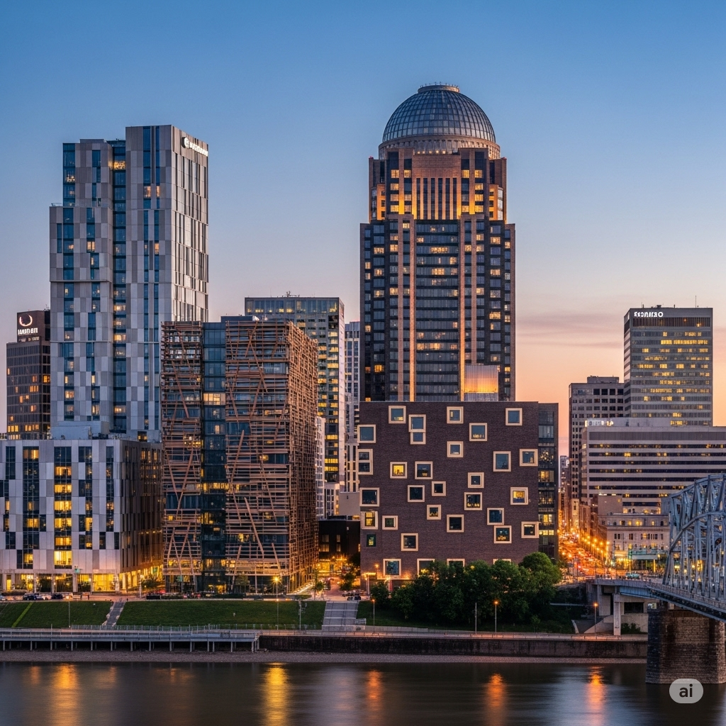
This project is an analysis of potential future development in Louisville, KY. This study is based on the city’s struggle with past land-use policies and on how Louisville can demonstrate its identity through space and material.
The projects noted below seek to improve the urban fabric of downtown Louisville and its adjacent neighborhoods by envisioning initiatives focused on cultural institutions, public space, housing, urban canopy, and a higher quality of life for Louisvillians. All work was for personal interest alone, not for employment or my education, and all renderings were created via Google Gemini. All renderings are meant to simulate location potential and are not final design proposals; and are project ideas that have not been published for consideration and would be phased over the next few decades.

Project 01: Ohio River Front Park Extension, with the removal of the overpass for I-64 between the John F. Kennedy Bridge and interchange at S. Ninth Street. Removal of this section of the interstate would improve the appearance of the downtown area, improve air quality, reconnect downtown as a livable neighborhood with the waterfront, expand investment opportunities in downtown, and be a more significant alternative to the remodel of the Belvedere. Instead of a remodel of a smaller park on a parking deck, more linear green space could be added with room for flood control improvements and property development in downtown.


Project 02: The Belvedere-Gault House Redevelopment, with the removal of the overpass for I-64 between the John F. Kennedy Bridge and interchange at S. Ninth Street, permits a new developable area in the downtown, as well as an opportunity to redevelop the existing Gault House hotel complex for additional hotel keys- residential units. This would permit greater density in the core of downtown, expand demand for hotel keys, and grow the skyline of Louisville. While this could take many forms, the renderings above offer two variations: to the left, the site of the Belverdere and West Gault House is left open for a centralized grand park space with development to its South and East. To the right, it represents an extension of the street grid to permit a greater area for new residences and hotel space without a grand park.

Project 03: The Terrium and Louisville Aquarium, with the removal of the overpass for I-64 between the John F. Kennedy Bridge and interchange at S. Ninth Street, permits a new developable area in the downtown, as well as an opportunity to create additional-centralized, cultural, and educational institutions in downtown. To the left is a rendering of a waterfront aquarium along the newly expanded riverfront, while the rendering to the right illustrates a biotanical garden experience that can serve as a local park, education center for local schools, and act as an opportunity to attract tourism and investment to downtown.


Project 04: The City Hall extension and Landmark Fountain showcase growth potential that blends more modern styles, as shown above, with development that invokes Louisville’s architectural past. The left rendering shows an extension to City Hall that would occupy the vacant lots that currently surround the building. An extension would keep the existing Beaux Arts building as the South Wing, while a new central extension would include a centralized tower, and a North wing would mimic the existing City Hall, making the building symmetrical while maintaining its architectural style. The vacant lots to the West of the Current City hall would be transformed into a public plaza and park. The expansion would permit the consolidation of government buildings for the city-county and act as a catalyst project for downtown development on vacant land. The Landmark Fountain in the right rendering could take many forms, but would seek to be a non-modern installation that should embody Louisville as a city and would be located in one of the project areas identified in this series for public space.

Project 05: The Downtown Haymarket and Union Station extension each seeks to bring historic elements of urban Louisville back to the city. The rendering on the left is of a new Haymarket canopy, which would serve as space for farmers’ markets, performances, and public space downtown, based on the historic Haymarket, which was demolished for the construction of the interstate in Louisville. This would provide an amenity for downtown residents and could host a variety of festivals or events in the neighborhood that downtown could be. The rendering to the right is of an extension to Union Station, which would be along S. 10th Street and would host as the central terminal for the city bus lines, and future city light rail and Amtrak passenger rail. For this future project, much growth and investment would be needed, but we could see Louisville as the center of passenger transportation in the region.


Project 06: The rendering to the left is of a centralized Louisville Art Museum located in downtown. The facility would serve as a home to local and national collections, and host city programs for the arts that would enrich the urban fabric. The rendering to the right represents mid-rise development that should be conducted on many urban infill sites city wide, and could range in architectural appearance from modern to more traditional motifs. Such projects could be completed when bordering historic neighborhoods to create more soft transitions in the urban fabric with new development between districts.


Project 07: The rendering to the left is of a modern extension to Mohammad Ali International Airport with the goal of adding more direct flights to Louisville from other U.S cities to ease the difficulty of travel to the city for leisure or business. Updates to the terminal would expand gate capacity, upgrade terminal amenities, and improve the appearance of Louisville immediately for those traveling by air. It is desired that a direct rail link be built to serve the airport to a connection downtown via the expanded Union Station. The rendering to the right shows the desired density around Union Station, with streetcar access to travelers in the city and those coming to downtown from the airport.